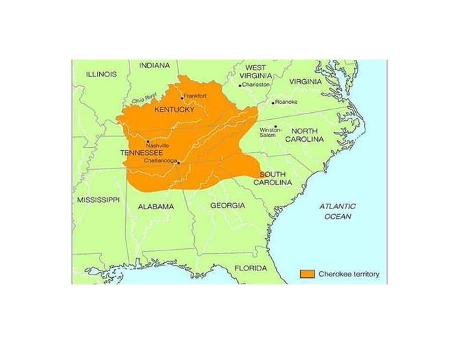
Now, here comes the part that makes that beautiful Appalachian landscape feel heartbreaking. In the 1830s, the U.S. government forced the Cherokee—along with other tribes—to move west to Indian Territory (present-day Oklahoma). This was the Trail of Tears, a brutal, forced march that killed thousands. Overnight, their homeland went from the Smokies to dusty plains—a cultural and geographic whiplash that still echoes today.
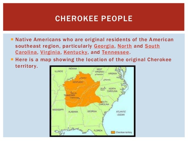 Where Did Cherokee Live Map? _ Native American History for Kids
But here’s the resilient twist: the Cherokee did not disappear. Today, the Eastern Band of Cherokee Indians lives on the Qualla Boundary in western North Carolina, right in their ancestral mountains. Meanwhile, the Cherokee Nation in Oklahoma is the largest tribe in the U.S., with over 400,000 citizens. So their “where they lived” isn’t just a history lesson—it’s a living, breathing geography that spans from the Appalachians to the plains.
A Final, Wandering Thought
If you ever drive through the Blue Ridge Parkway or hike near Chattanooga, look at the land with new eyes. The Cherokee didn’t just live on the land; they lived with it—naming every creek, mountain, and hollow after stories and spirits. They saw the Smokies not as a backyard, but as a grandmother’s embrace.
So, next time you sip a glass of water from the Tennessee River, remember: that river was a Cherokee highway, a grocery store, and a sacred path. And yeah, their descendants are still there, watching over it—and probably rolling their eyes at tourists like me who get lost on the trails. Don't worry, we deserve it.